STATEN ISLAND, N.Y. — Following multiple days of seemingly unyielding snowfall, parts of upstate New York are expected to receive even more wintry weather.
Lake-effect snowfall impacted various parts of New York Monday through Wednesday, bringing about intense winds and funneling arctic air across the water of the Great Lakes. In some cases, the snowfall exceeded predicted precipitation amounts. Parts of the Tug Hill region were originally slated to receive two feet of snow; the storm ultimately dumped more than 30 inches.
Now, AccuWeather is reporting that rain and snow will continue to plague areas upstate well into the weekend.
FRIDAY: MESSY MIX
As of the time of publication, the hamlet of Old Forge, which received more than a foot of snow recently, is forecast to take on a mix of rain and snow culminating with a coating of up to an inch Friday into early Saturday, as noted by AccuWeather.
This Friday storm could leave a few inches of wet snow in its wake, particularly in elevated areas, as mentioned in AccuWeather’s report. This combination of rainfall and pre-existing, melting snow, could potentially rise creek and river levels to near full capacity this weekend.
At this same time, NYC will receive some rain of its own amid a return to mild temperatures.
While Saturday holds the promise of a dry day for areas like NYC, some parts upstate will continue to see spots of precipitation.
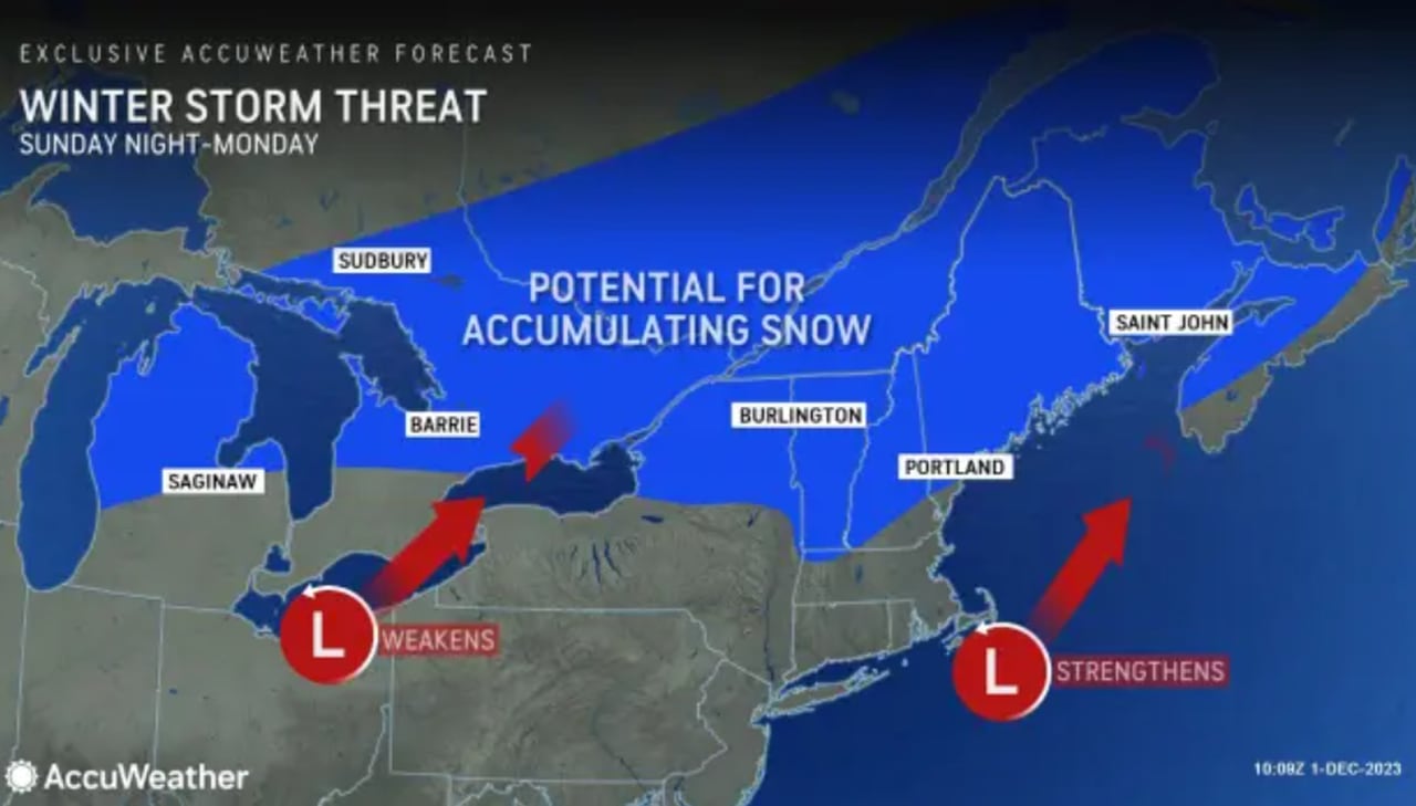
SUNDAY: WINTER STORM THREAT
The precipitation is expected to continue upstate with a blend of rain and snow to kickoff the week ahead. The potential for accumulating snow returns Sunday night into Monday, with AccuWeather prognosticating multiple inches on top of that which has already fallen.
Old Forge will reportedly see an additional 2-4 inches of snow during this time period, while Lake Placid can see anywhere from 3-6 inches between 7 p.m. Sunday and 11 p.m. Monday, as forecast by AccuWeather.
Snow will stay clear of the city, however, as this secondary storm will bring rain to NYC.
Read the full article here
Leave a Reply