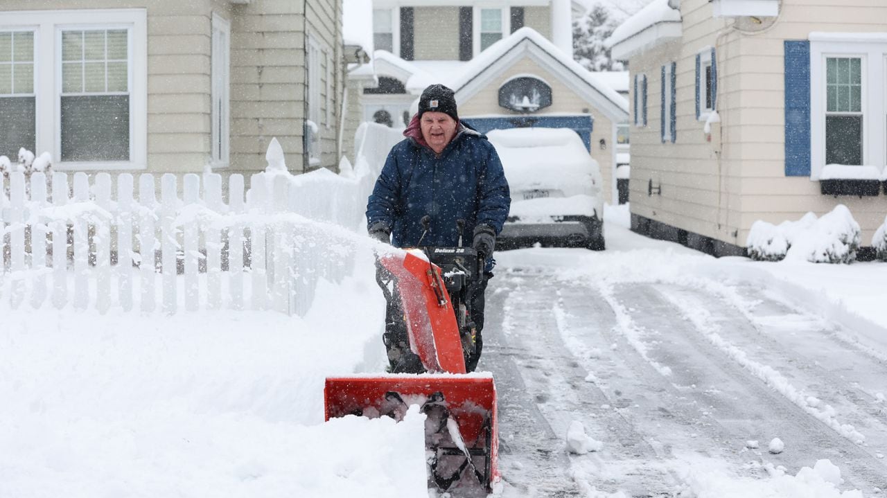
Syracuse, N.Y. — Upstate New York is likely to get hit this weekend by a storm similar to the one on Tuesday that uprooted trees, cut power to tens of thousand of people, and brought a coating of wet snow followed by heavy rain.
The weekend storm could again deliver damaging winds and also drop potentially heavy lake effect snow at the east ends of Lake Ontario and Lake Erie, the National Weather Service said. The lakes are unusually warm for mid-January and relatively ice-free; the warmer and more open the lake, the more lake effect snow.
“While it continues to remain too early to pinpoint the exact specifics, the pattern supports the possibility of significant snow amounts for areas east of the lakes,” the weather service office in Buffalo said. “Additionally, windy conditions will persist through out the weekend and support areas of blowing snow.”
Lake effect snow can fall in narrow bands and thus be particularly tricky to forecast. Computer models used by meteorologists, however, hint lake effect snow for the Buffalo Bills playoff game on Sunday at Highmark Stadium, in Orchard Park.
Before that big storm arrives Friday, a fast-moving clipper system will slide across Upstate New York today, That could generate some light snow across much of Upstate New York. The Tug Hill region could get a foot or more as cold air streams across Lake Ontario.
The real action starts Friday night, when the center of a strong storm system coming out of the Midwest will pass to the west of New York. That means Michigan will be pounded by snow, but Upstate New York will again be on the storm’s warm side to start. Friday night with light snow followed by rain as temperatures rise.
High winds Friday evening and Saturday morning could bring another round of power outages. The weather service has already issued a high wind watch for Friday afternoon to Sunday morning for most of Western New York. Winds will again be from the southeast, at least at the beginning of the storm, and…
Read the full article here
Leave a Reply