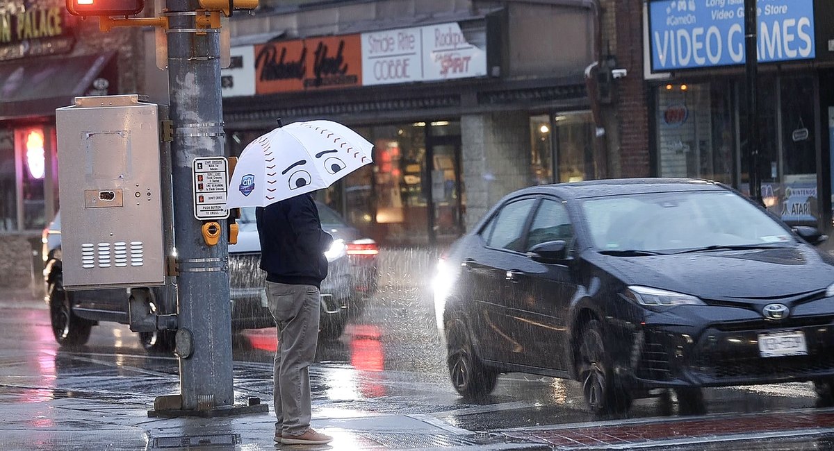
Powerful winds and rain are expected to return to the New York City area Friday night, just days after the region was hit with a winter storm that left power outages and floods in its wake, according to the latest forecast from the National Weather Service.
The region will receive up to two inches of rain and wind gusts of up to 50 miles per hour, with the strongest winds predicted along the coastlines, NWS says.
While there is currently no risk of widespread flash flooding, parts of Queens, Long Island and southeastern Connecticut could see minor to moderate coastal flooding on Saturday morning. Parts of northeast New Jersey, the lower Hudson Valley and southwestern Connecticut could also see flooding from rivers and streams.
“So far it doesn’t look quite as strong as the previous one, but it still looks like it’s going to pack a pretty good punch,” said John Cristantello, a lead meteorologist with NWS.
The forecast comes after parts of NYC and its northern suburbs, including the Bronx River, and New Jersey, including the Saddle River, experienced significant flooding from this week’s earlier storm, which began Tuesday and lasted into Wednesday. That storm also forced NYC officials to evacuate more than 1,900 migrants from a massive tent shelter at Brooklyn’s Floyd Bennett Field to a school in the borough.
Some areas outside of the city received nearly five inches of rain Tuesday into Wednesday, rainfall totals tracked by NWS show. Coastal areas in Queens and Long Island faced some of the strongest winds during the storm, with Great Gull Island on the eastern end of the Long Island Sound recording gusts as high as 64 miles per hour.
Grounds that are unusually saturated from recent rain and snowmelt could also give way to possible nuisance flooding away from the coastlines, according to NWS, after a different winter storm dropped a combination of snow and rain on the area last weekend.
Currently, the region’s soil is “just about as wet as you can get…
Read the full article here
Leave a Reply