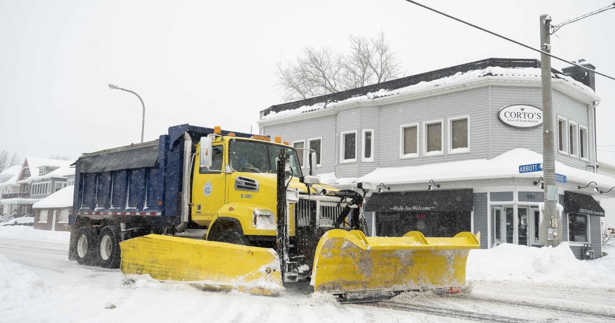
The second round of a one-two weather punch that pummeled Western New York over the past five days is coming to an end with snowfall totals being measured in feet in some communities.
The lake-effect snow warning issued by the National Weather Service will continue until 7 p.m. for Erie, Genesee and Wyoming counties.
The Sunday snowstorm has led to certain areas experiencing up to 3 feet of snow, National Weather Service Buffalo meteorologist Heather Kenyon said. The weather service recorded 41.3 inches of snowfall in Hamburg, 41 inches in West Seneca and 31 inches in Lackawanna, among other places across the region.
For the second storm Wednesday, here are the figures from National Weather Service as of Thursday morning, which exclude the snow totals from the first event and which in some cases were measured in different spots in the same community:
South Buffalo: 25-30 inches
Buffalo International Airport: 12.2 inches
Lackawanna: 25-30.8 inches
West Seneca: 29-37.8 inches
Cheektowaga: some areas received 12 inches while others recorded up to 24 inches
East Aurora: 16 inches Thursday morning while some areas saw up to 20 inches Wednesday
Orchard Park: 12-21 inches
Clarence: 8-10 inches near the southern end, 2-4 inches accumulation in north end
The…
Read the full article here
Leave a Reply