There haven’t been any major changes to the forecast since last night’s report from the National Weather Service. Saturday will be a snowy one for a lot of folks in the Finger Lakes region.
The NWS has maintained a Winter Weather Advisory for Cayuga, Ontario, Seneca, Wayne, Monroe, and Onondaga counties through Sunday at 7 a.m.
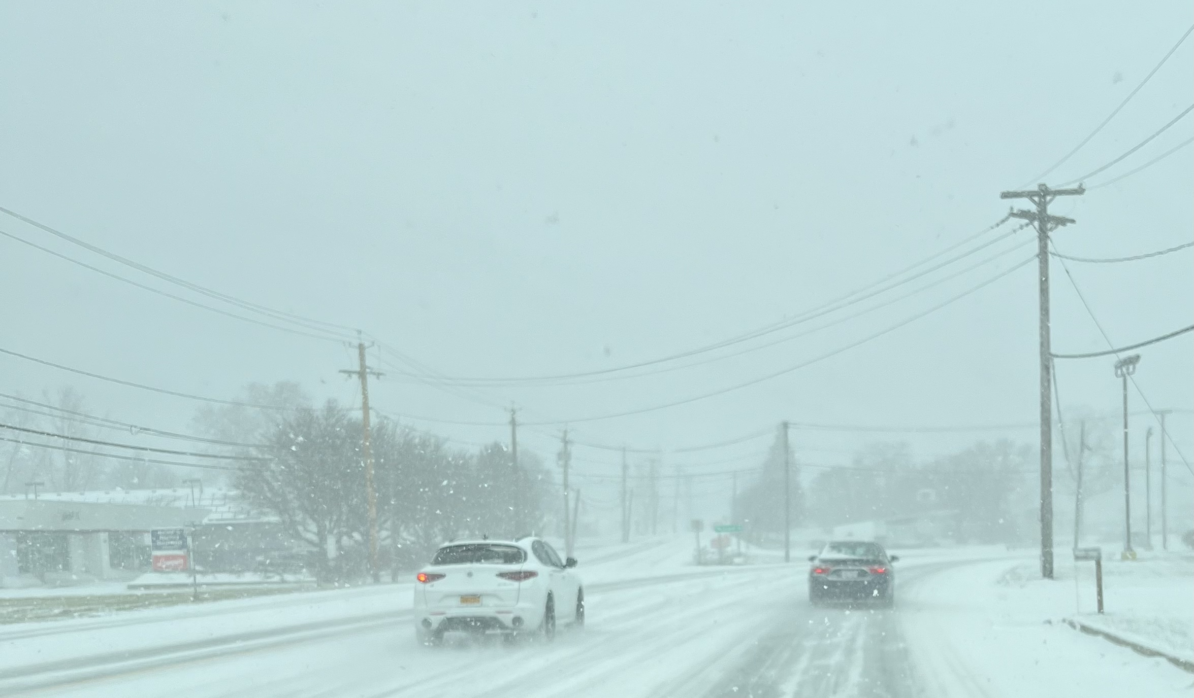
A northwest wind flow over the seasonably warm waters of Lake Ontario means communities along State Route 104, as well as those along the Thruway will continue to see snowfall today. While snowfall rates won’t be major – the duration of this wintry weather, combined with very cold temperatures will mean roadways remain snowy throughout.

It’s lake effect snow, so it will be most intense in bands, which will create poor visibility. The afternoon and evening timeframe today is when the NWS says travel will be most-difficult across the advised area.
As far as accumulations are concerned – expect another 4-6 inches of snow by the time it starts to taper off Sunday morning – if you’ve been seeing flakes fly over the last 24 hours.
Wind chills through Sunday afternoon will be dangerously cold. So, if you’re headed out this weekend make sure you’re wearing appropriate layers. High temperature today will be around 18.
Quick Weather Resources
Live Traffic
FingerLakes1.com is the region’s leading all-digital news publication. The company was founded in 1998 and has been keeping residents informed for more than two decades. Have a lead? Send it to [email protected].
Read the full article here
Leave a Reply