

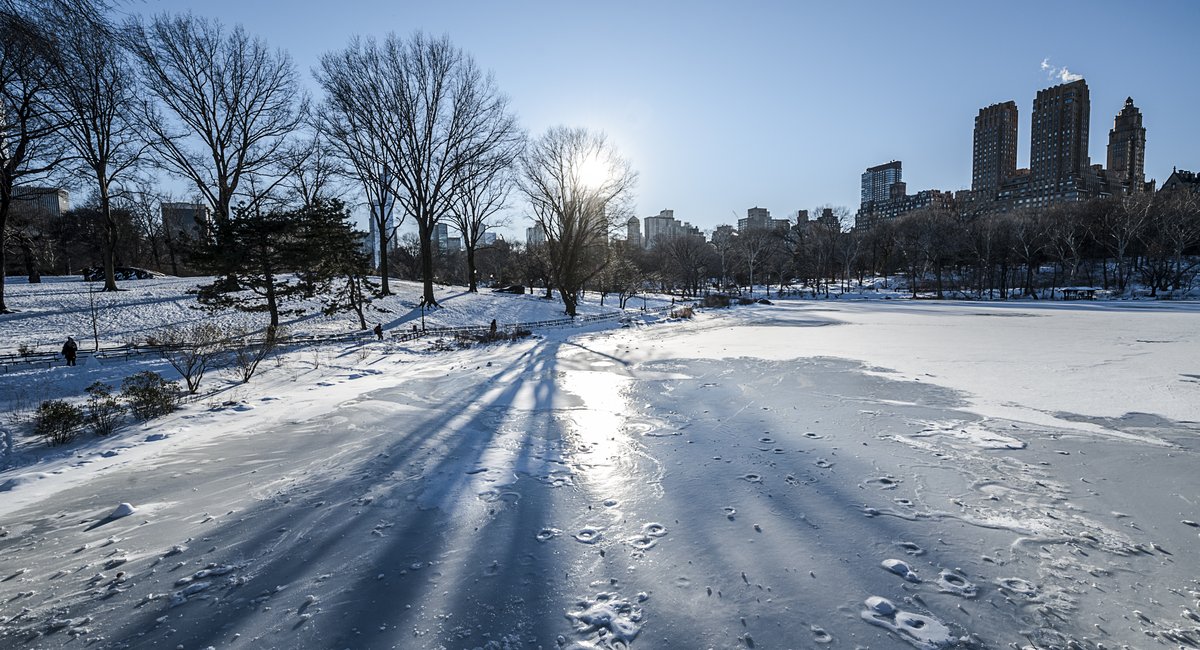
The New York City area is in a deep freeze with wind chill values expected to dip into the single digits Saturday night and even hitting zero or below in some areas, according to the National Weather Service.
“If you get up into the Hudson Valley, even out on eastern Long Island, parts of Connecticut, interior New Jersey — all those areas will be down close to zero or below zero,” said James Connolly, a meteorologist with the National Weather Service.
Wind chill values are expected to be lowest for residents further north of the city.
“Essentially, it’s going to be cold,” Connolly said.
Some scattered weather-related power outages in the city and southern Westchester had been reported to Con Edison by midday Saturday and displayed on their outage map.
Heat and hot water outages affecting the New York City Housing Authority’s Kingsborough Houses development in Brooklyn were reported early Saturday afternoon but a spokesperson said just after 3 p.m. that service had been restored. An earlier outage at Parkside Houses in the Bronx was also restored, according to the agency’s outage tracker.
Residents at a development in Mott Haven were without hot water for a period due to a cracked pipe but NYCHA spokesperson Michael Horgan said, “Staff are onsite to make this repair today.”
So far much of the city’s transportation infrastructure has held up: No flights were reported delayed or canceled at the region’s three major airports and aside from delays on C and E trains, the MTA reports subways are running as scheduled.
Forecasters are expecting temperatures to get closer to 40 degrees during the day on Monday and to hit the high 40s by late next week.
Connolly urged people to be aware of the potential for black ice as low temperatures on Monday night were expected to get close to freezing after warmer temperatures earlier in the day.
“Now we could have some black ice, some patchy black ice, especially outside of the city where there’s some snow melt and that…
Read the full article here


