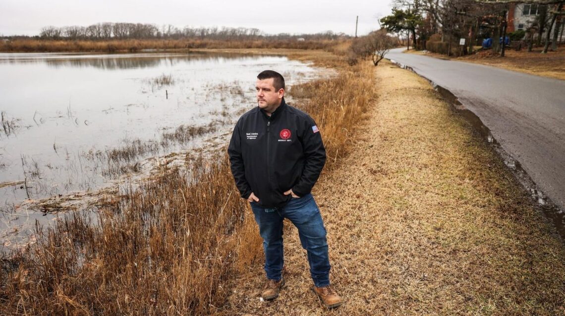
Whenever a storm brews, Dan Goodwin checks the winds and tides to shore up streets that typically flood in Southold.
Goodwin, the town highway superintendent, loads trucks with signs and barricades to keep residents from using low-lying roads that wind along creek edges across the North Fork.
Street flooding in the town has become routine, even in areas not marked on Federal Emergency Management Agency maps.
“We don’t even need to have a storm of any significance,” Goodwin said. “We could have an easterly wind direction and a lunar high tide and we have roads that are completely impassable.”
Mapping out a solution
- Southold has embarked on a mapping project to better understand flood prone areas in town and establish detours that aren’t also underwater.
- Maps can also help first responders during evacuations and rescues.
- The 2024 budget includes $100,000 toward a coastal resiliency action plan.
- There are 210 miles of coastline in Southold and more than 1,100 homes and businesses in the flood zone.
The town recently began a project to map flood prone areas to help residents better prepare for emergencies and plan longer term solutions. Goodwin is leading the project with town engineer Michael Collins and John Sepenoski, who heads the town’s geographic information systems department. The mapping project is the first step toward a larger coastal resiliency plan.
Town Supervisor Al Krupski said the project will pinpoint safe alternate routes drivers can use to “get to where they’re going, but not drive through standing water.”
The map can also be a useful tool for first responders if rescues are needed, officials said.
Back-to-back storms earlier this month left South Shore communities reeling from flood and erosion damage, prompting the state to pledge $5 million to replenish sand at ocean beaches. Though the North Fork was mostly spared, the events brought the flood plain into sharp focus.
Rising seas and more intense flooding amid a changing climate…
Read the full article here


