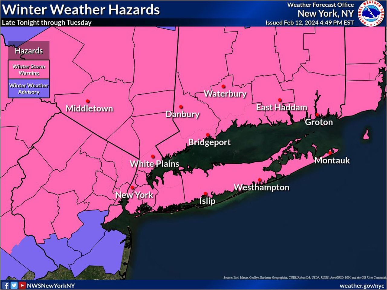
STATEN ISLAND, N.Y. — Following a weekend of unseasonably warmer weather, it looks like the New York City area won’t be able to escape Mother Nature’s wrath much longer, as a winter storm is expected to bring the first significant snow accumulation of the season.
While there is some uncertainty as to actual New York City snowfall amounts for the storm, beginning Monday and lasting into Tuesday, Marc Chenard, a meteorologist for the National Weather Service, told the Advance/SILive.com that the borough could potentially see up to seven inches of snow by the time the last flake has fallen.
However, Chenard said that snow won’t begin until sometime in the early morning Tuesday, and light rain is expected at around 11 p.m. tonight. That rain will eventually transition from a so-called “wintry mix,” to snow by around 10 a.m. Tonight’s temperatures are expected be in the mid 30s with any potential snowfall being less than an inch.
“It still looks to be on track with snow moving in by tomorrow morning,” Chenard said. “It should start out with a little rain, but end up being primarily snow after that.”
On Tuesday, the snow will fall mainly before 2 p.m. and is expected to be heavy at times with some thunder possible. Temperatures will hover around 39 degrees, with wind chill values between 20 and 30 degrees. Winds could gust as high as 37 mph, forecasters say.
“The heaviest snow will probably be through the early morning until the early afternoon,” Chenard said. “This storm is going to wrap up pretty quickly — it’s not going to be that long of a duration of snow.”
Read the full article here
Leave a Reply