The Brooklyn Greenway Initiative and the Regional Plan Association (RPA) this week released the Brooklyn Waterfront Greenway User Study, a comprehensive analysis of the Brooklyn Waterfront Greenway’s users’ experiences, patterns and demographics.
Conducted in partnership with the New York City Department of Transportation and Numina, the study utilizes the latest technology — including sensors created by Numina — to collect data on how and why people utilize the Brooklyn Waterfront Greenway.
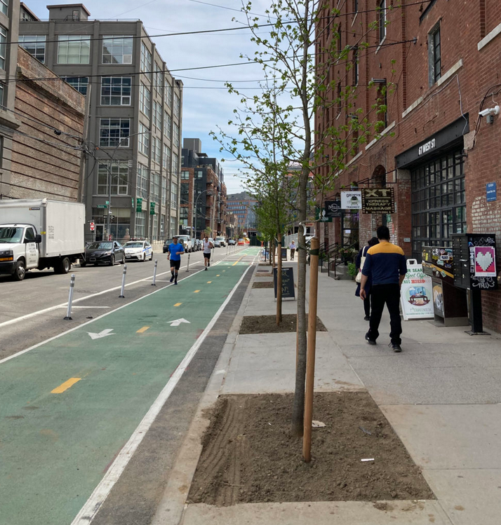
The study’s findings show that the greenway is highly used by residents, commuters and visitors within the borough and beyond. It also analyzes the greenway’s potential for environmental and public health benefits for those it serves.
The study, previewed at the NYC Greenways Coalition Summit at the Transit Center in September 2024, marks an important time in greenway planning in New York City, including the anticipated 2024 completion of the first citywide greenways plan since 1993; the planning of 60 new or upgraded miles of greenways over the next two years funded by a grant from the federal Department of Transportation; implementation of the NYC Parks Destination Greenways program; and other projects across the city.
The Brooklyn Waterfront Greenway, which has been under development for more than 30 years, will be a 29-mile corridor once it is completed and will provide a protected and landscaped path that serves pedestrians and bicyclists alike across Brooklyn’s iconic waterfronts. The completed route runs from Greenpoint to East New York.
Read the full article here
Leave a Reply