SMOKE:
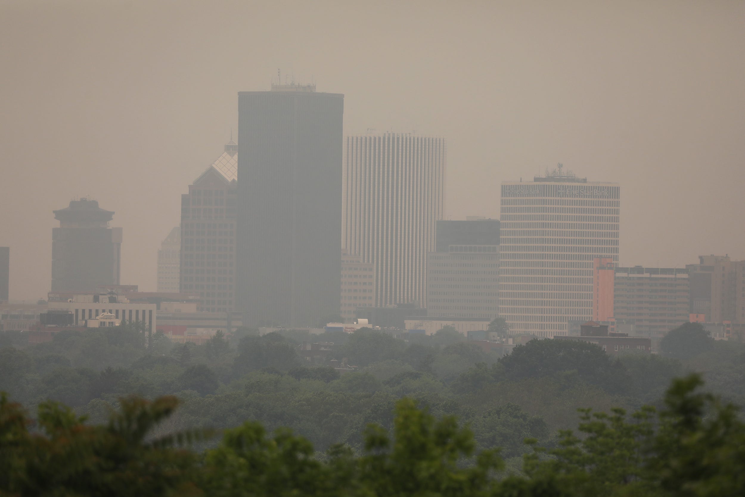
Canada, Central United States and Eastern United States – Wildfire activity in northern British Columbia and the Northwest Territories continued to produce high-density smoke, contributing to a lengthy plume of moderate to high-density remnant smoke extending eastward over northern Canada and southward over Ontario and Quebec. Over southern Quebec, wildfire activity was producing a large area of high density smoke extending southwestward and southward, adding to the smoke from the western fires. This area of moderate to high density smoke was extending south and southwestward over much of the Eastern United States to as far south and west as portions of the Southeastern United States and Midwestern United States.
SMOKE/AEROSOL: Florida, Gulf of Mexico, Mexico, Northwestern Central America and the Pacific Ocean south of southwest Mexico and Central America – A large area of low density smoke, from ongoing fire activity over Mexico and Central America, mixed with aerosols from industrial activity over Mexico and Central America, was extending from off the Southeastern United States west through Florida, the eastern and southern Gulf of Mexico, western Caribbean Islands, western Caribbean Sea, southern Mexico, northwestern Central America and the Pacific Ocean south and southwest of northwest Central America and southwest Mexico.
Source: NOAA
Read the full article here
Leave a Reply