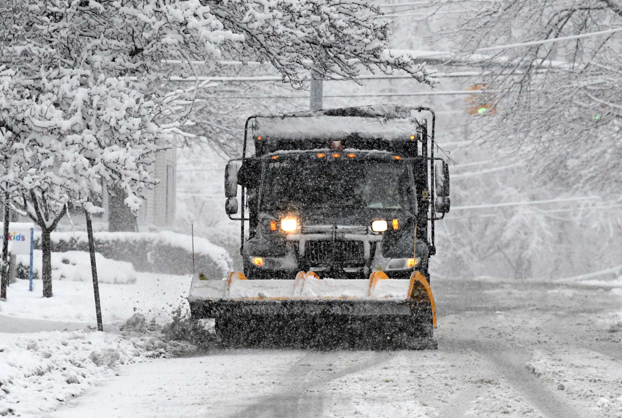
ALBANY — The National Weather Service has issued a winter storm watch for much of eastern New York Monday night through Tuesday.
The watch is from 4 p.m. Monday to 10 p.m. Tuesday, with between four to 12 inches of snow predicted depending on where you live.
Joe Villani, a meteorologist with the National Weather Service in Albany, broke it down as such: 4 to 7 inches of snow for those just east of the Hudson River in Rensselaer and Columbia counties; 6 to 9 inches west of the Hudson in Albany, southern Saratoga and Schenectady counties, then 8 to 12 inches of snow into the Mohawk Valley and Catskills.
The highest snow totals will also be in higher terrain areas of the southern Adirondacks, Berkshires and southern Vermont.
Areas impacted by the winter storm watch, as of Sunday, stretch across the southern Adirondacks to Ulster County in the Hudson Valley.
Just east of the Hudson River will still see snow, but it will be drier due to the storm’s winds coming off nearby higher elevations. “Even though you’re getting precipitation from the storm, it’s not as intense,” Villani said.
The storm is a result of two systems smashing together: one from an intense storm causing tornadoes in the Plains states, and another forming over the Atlantic Ocean south of Long Island. “Most winters we see a handful of these. But I don’t know if we’ve seen one of these this winter,” the meteorologist said.
The weather service says snow could fall at an inch per hour during the storm overnight Monday, and…
Read the full article here
Leave a Reply