We’ll look at the incredible spike in warmth this year at the close of this article, but Western New York midsummer temperatures will stay strictly routine for the season. After a slightly humid Friday with a few departing showers and thunderstorms well east and southeast of the metro area, a drier air mass will move in overnight and into Saturday. A high pressure ridge moving in from Canada will take dew points down to the low-mid 50s, bringing comfortable humidity levels on Saturday.
Ordinarily, we would expect brilliant sunshine under such a ridge. However, Canadian wildfire smoke is back in limited quantities aloft, bringing a hazier look to the sky. Hundreds of uncontrolled wildfires still rage over huge tracts of territory, many inaccessible to firefighting resources. The midlevel circulation is still episodically transporting some of that smoke into parts of the lower 48.
Some of this smoke has been reaching closer to the surface, though concentrations have been well below truly hazardous levels. You can monitor the Air Quality Index on this link.
The near surface smoke concentration remains near moderate levels Saturday as modeled here.
Even as we head into Sunday, near surface smoke will probably linger.
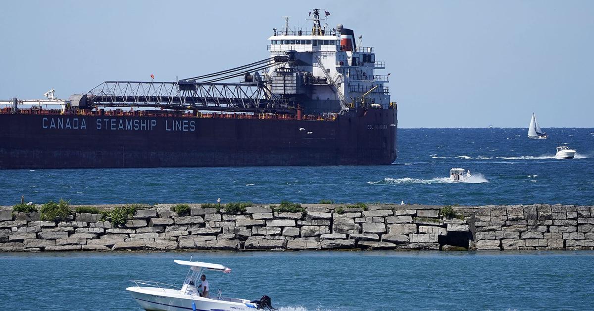
Other than some haze, Saturday will bring seasonable temperatures near 80, with a partly to mostly sunny sky and a light north-northeast breeze. Boaters will deal with waves of 2 feet or less on both lakes, with no thunderstorm hazards.
Sunday returns some midsummer warmth to the region, with highs headed toward the mid 80s. The very light east breeze may make it feel warmer, despite moderate humidity, under a mostly to partly sunny sky with, again, some evident haze. Slow sailing may pick up a bit later in the day, when an east-southeast breeze increases to 10-15 knots on both lakes, producing 1-2 foot waves.
Monday may end up being a day to watch, with greater instability increasing a threat of stronger to possibly…
Read the full article here
Leave a Reply