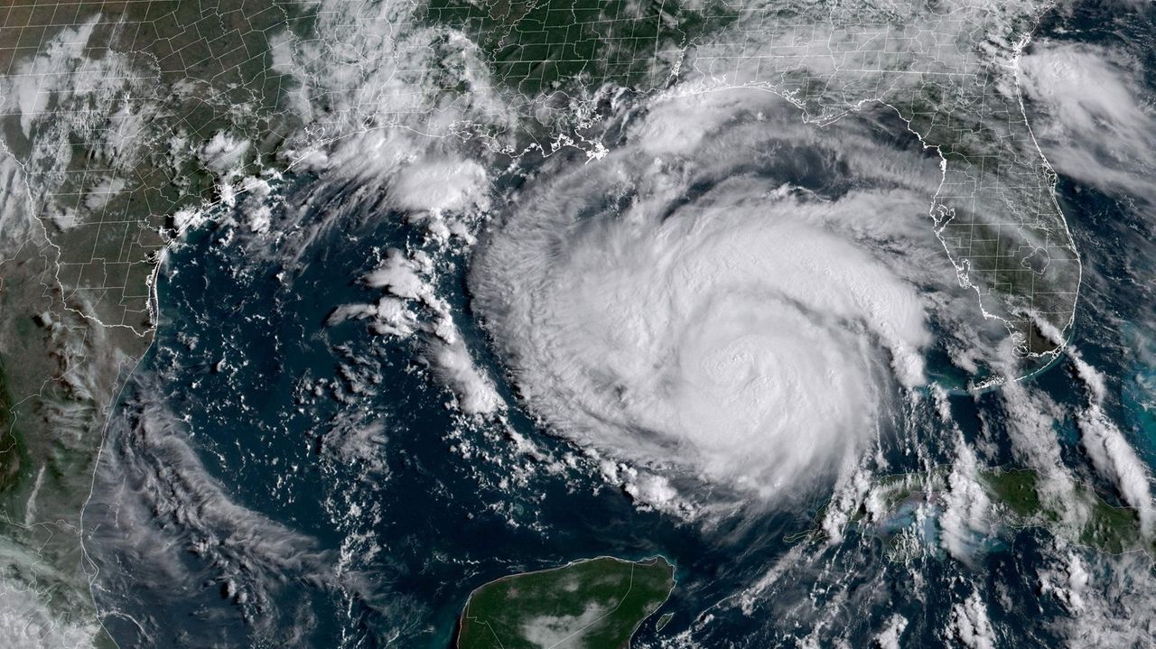
Record-warm Atlantic sea surface temperatures were among the factors that led federal scientists to boost their prediction Thursday from a near-normal 2023 Atlantic hurricane season to one that is busier than normal.
The forecast from NOAA’s Climate Prediction Center — a division of the National Weather Service — calls for 14 to 21 named storms with winds of 39 mph or greater. Some six to 11 of those could become hurricanes with winds of 74 mph or greater, with two to five growing into major hurricanes with winds of 111 mph or greater.
NOAA’s hurricane outlook now predicts a 60% chance of an above-normal season, up from 30% predicted in an outlook issued in May.
An average season produces 14 named storms, seven hurricanes and three major hurricanes.
“We urge everyone to prepare now for the continuing season,” said Matthew Rosencrans, lead hurricane season forecaster with NOAA’s Climate Prediction Center.
Record warmth in global waters can fuel more energetic storms, and “there are no analogues” in NOAA’s historical data for such current sea surface temperatures, said Rosencrans.
Global ocean surface temperature for June reached the highest levels in the 174 years of NOAA data, with temperatures 1.66 degrees Fahrenheit above normal. Northern Hemisphere waters also reached record warm levels, with temperatures 1.93 degrees above normal.
In recent years, threats from hurricanes have expanded beyond storm surge and wind damage to include torrential rain and inland flooding, Rosencrans said.
Superstorm Sandy, in October, 2012, killed 13 people on Long Island. It also washed 10 billion gallons of oil, garbage and sewage onto lawns, into basements in the Northeast, and eventually into the ocean and took out nearly 100,000 homes, businesses, schools, government buildings and other structures.
In 2021, Hurricane Ida’s remnants killed at least 13 people in Queens and Brooklyn who were trapped and drowned in flooded basement…
Read the full article here
Leave a Reply