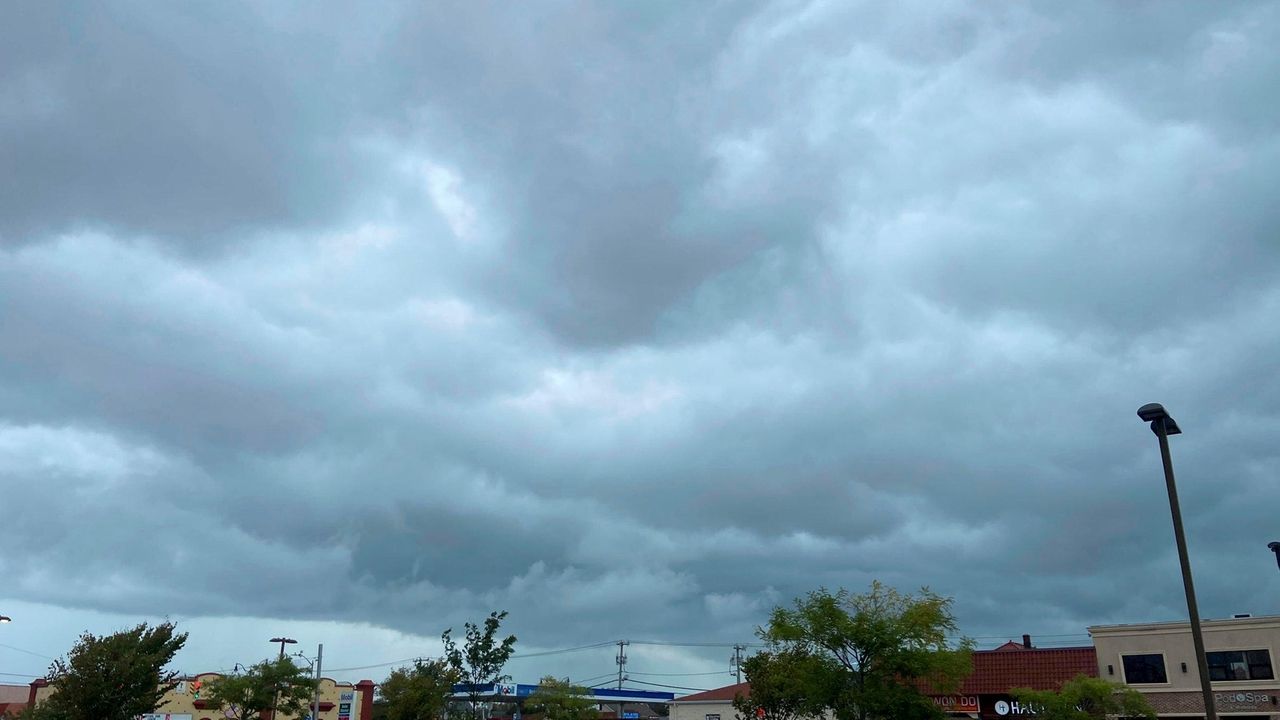
Long Island residents should be prepared for periods of heavy rain and thunderstorms Sunday afternoon with minor flash flooding possible in some areas, according to the National Weather Service.
The agency issued a hazardous weather outlook for a “slight risk of excessive rainfall” that should last into the evening across Nassau and Suffolk counties.
“The Island will see increased coverage of showers and thunderstorms through the afternoon into the early evening,” said NWS meteorologist Dave Radell. “Some of those may produce some nuisance flooding. We’re not expecting anything severe at this point.”
The storm was developing over New York City and moving east, Radell said.
“Folks can expect some brief heavy downpours with some of the stronger cells,” he added.
About a half inch to three quarters of an inch of precipitation is expected in some areas of Long Island, according to the agency.
The rain comes just days before the effects of Hurricane Lee are expected to be felt in the region.
Radell said the hurricane, currently about 270 miles northeast of the Leeward Islands, south of Bermuda, is expected to move northwest before taking a turn north.
The greatest impact on Long Island is expected to be hazardous beach conditions developing Wednesday night into Thursday and Friday, he said.
“What we can expect to see is a period of dangerous rip currents and some high surf at Atlantic-facing beaches toward the end of the week,” Radell said. “That’s really all we are expecting for Long Island at this time.”
Evening showers are expected Monday with morning rain possible Tuesday, according to the latest forecast from the National Weather Service. Thunderstorms are expected Wednesday evening.
Temperatures will begin to cool off over the next several days, falling into the upper 70s by Wednesday, the forecast states.
Read the full article here
Leave a Reply