STATEN ISLAND, N.Y. — NYC will get snow this weekend as part of a coastal storm making its way through the Northeast.
While areas of the Hudson Valley can expect to see up to a foot of snow, city residents will only need to combat an inch or so of snow, according to National Weather Service (NWS) Meteorologist Brian Ciemnecki.
THE TIMELINE
Beginning Saturday afternoon, light snow will begin to overspread the NYC area. As night falls and the evening comes upon us, that snow will eventually give way to some rainfall.
“Saturday evening, the temperatures should start to warm up to transition that snow, first to a rain-snow mix, and then eventually to all rain,” Ciemnecki said.
By midnight, Staten Island is expected to see rainfall across the borough; the precipitation forecast to remain as rain overnight into Sunday, as reported by Ciemnecki. However, snow is anticipated to make a return on Sunday, mixing with the rain as the system pulls out of the region.
Ciemnecki foresees around an inch of snowfall for the area.
“Could some spots get like an inch to an inch and a half? It’s certainly possible, especially if you’re in like the far northern or western parts of Staten Island,” Ciemnecki said. “But again, you’re generally looking at around an inch or so.”
When will it be over?
Well, according to Ciemnecki, the precipitation is most likely to linger until sometime between 12 p.m. and 2 p.m. Sunday. Then, around 2 p.m. or 3 p.m. the probability of precipitation begins to come down.
ANTICIPATED EFFECTS
While snowfall totals do not necessarily warrant a mass run for bread, eggs, and milk, it is still predicted to bring some rather unpleasant conditions to the NYC area.
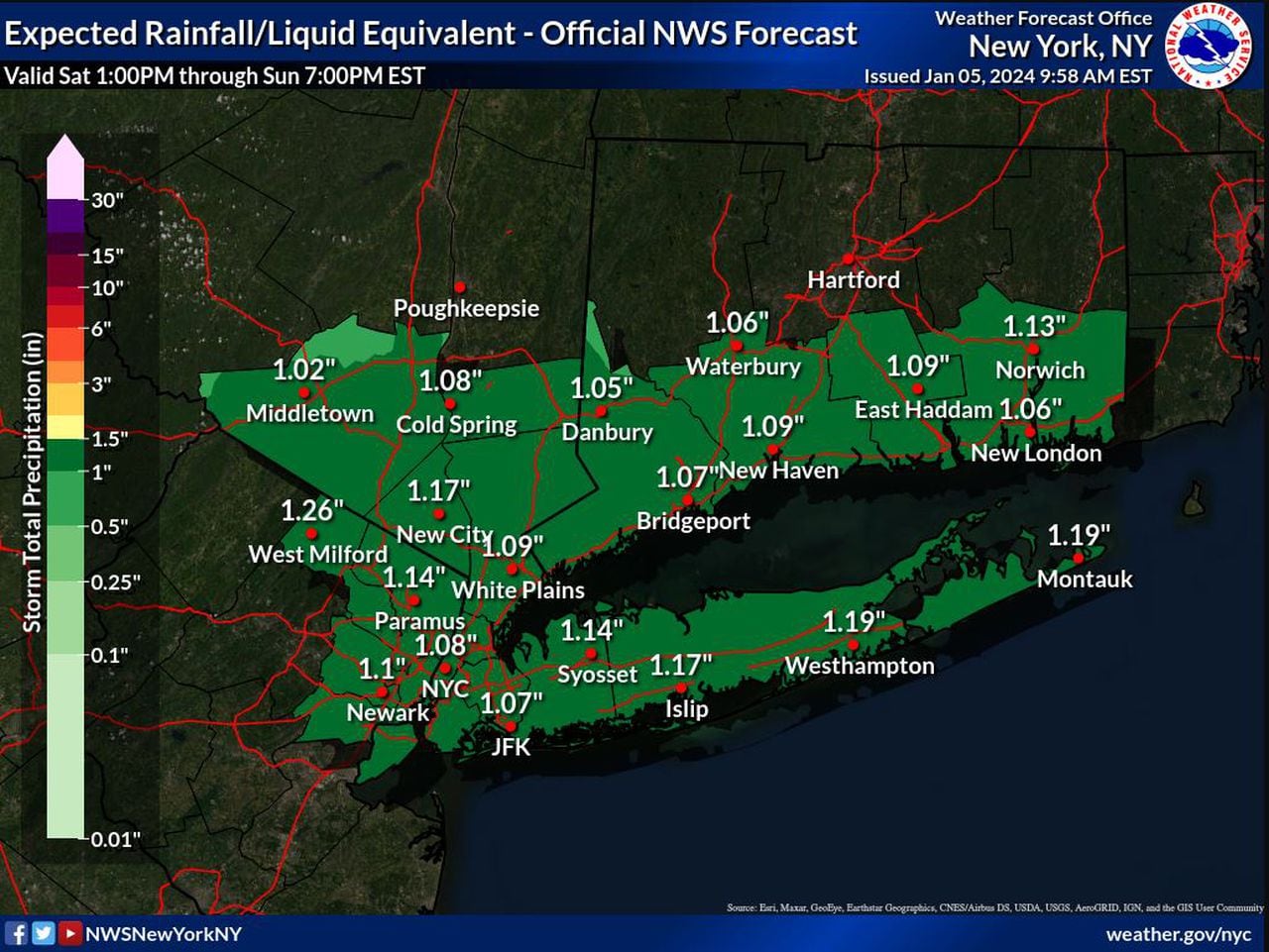
The heavy, wet snow and rain is expected to mar travel conditions and potentially contribute to localized minor urban poor drainage flooding, as mentioned by the NWS. Rainfall amounts across the city are expected to reach an inch,…
Read the full article here
Leave a Reply