STATEN ISLAND, N.Y. — Brace for more wet weather.
Wet weather will continue well into the evening, according to the National Weather Service (NWS), as the New York City area is expected to see more rain, wind and the possibility of snowflakes, which could make for a tricky Monday morning commute.
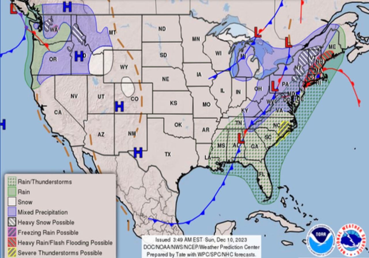
“It’s very wet right now as a there was a significant shot of rain that came through the area earlier today,” NWS meteorologist Rich Otto told the Advance/SILive.com. “There’s another axis of moderate to heavy rain that is going to be advancing in towards New York City over the next couple of hours.”
Rainfall totals are expected to be within 1 to 2 inches and about 2 to 4 inches as you head east from the city, Otto said. The storm comes ahead of a cold front which will lead to an eventual change over to wet snow from around 7 a.m. to 10 a.m. Monday morning before things begin drying out.
“And then it’s going to leave and we’ll be left with drying conditions during the day on Monday and sort of a breezy and colder day with temperatures falling to the low to mid-40′s and a windchill that’s going to make it feel colder than that,” Otto said.
Winds are expected to be anywhere from 10 to 20 miles per hour with gusts up to 30 miles per hour at times, making it feel like it in the 30s on Monday before dropping down further into what will feel like the 20s at night, he said.
On Sunday, Gov. Kathy Hochul urged residents to remain prepared as the large storm system could cause power outages and create difficult travel conditions in some areas during the Monday morning commute.
“This system will bring heavy rain and strong winds to downstate New York, while upstate will receive snow and wind tonight and tomorrow,” Hochul said. “We will continue to monitor impacts from this weather system and state agencies are prepared to respond to requests for assistance. I urge all New Yorkers to watch the weather and plan your travel and activities accordingly with…
Read the full article here
Leave a Reply