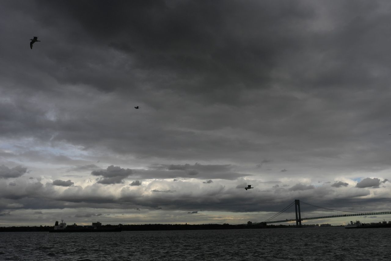
STATEN ISLAND, N.Y. — Strong thunderstorms may unleash damaging wind gusts and hail up to one inch in diameter on New York City Monday ahead of a week filled with rain in the foreacst, forecasters warn.
The National Weather Service’s Storm Prediction Center has placed the five boroughs within an area at “slight risk” for severe thunderstorms, according to a hazardous weather outlook. The agency’s New York forecast office said there is “moderate confidence in showers and thunderstorms developing Monday afternoon and evening, but it is uncertain how widespread the threat for severe storms will be.”
Staten Island’s forecast indicated showers and thunderstorms packing gusty winds are likely Monday afternoon. Rain is expected to continue into the evening as temperatures fall from a high near 81 degrees to a low in the mid-60s. Additional thunderstorms are possible at night, said the National Weather Service, and localized flooding is possible in low-lying and poor-drainage areas throughout the day.
Rainy weather is forecasted to be a trend this week, as Tuesday is expected to encounter another round of showers and thunderstorms after 8 a.m. The high approaching 80 degrees on Tuesday will fall to a low around 67 degrees at night as more showers roll through the area.
Wednesday has an 80% chance of precipitation, and showers are mainly expected to occur after 8 a.m. before the day reaches a high near 80 degrees. The National Weather Service expects rain to continue leading up to 8 p.m., when a low around 65 degrees will then settle in.
There is a chance of showers between 8 a.m. and 2 p.m. on Thursday prior to an elevated chance of thunderstorms after 2 p.m., according to the National Weather Service. The high for the day will approach 81 degrees. Forecasters said there is a 30% chance of precipitation in the evening and expect a low around 66 degrees.
Capping off a rainy workweek, there is a 30% chance of showers after 2 p.m. on Friday. A high near 82…
Read the full article here
Leave a Reply