

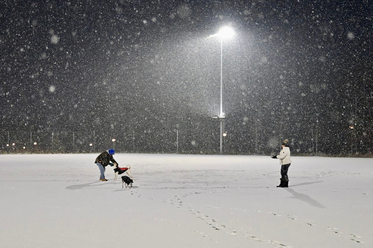
STATEN ISLAND, N.Y. — With a looming cold front expected to bring freezing temperatures and potential snowfall to New York City, there is a chance for a snow squall for Sunday.
According to a Notify NYC alert, the city Emergency Management department will continue to monitor the ongoing weather system coming into the area early Sunday afternoon.
The arctic cold front can bring a potential snow squall, which could lead to a rapid reduction in visibility, gusty winds, and briefly moderate to heavy snow, creating hazardous roadway conditions, the alert states.
If a snow squall does hit Staten Island, the alert states a “quick coating to half inch of snow” could be expected.
Wind gusts are expected to reach 40 to 45 mph, from 12 to 3 p.m.
Motorists are urged to take precaution while on roads, which may end up being slick to icy, depending on the weather.
A winter cold system is expected to continue into Monday, where forecasts call for a high of 32 degrees and a low of 26 degrees, with AccuWeather noting the date as “the start of an extended stretch of noticeably colder weather.”
Snow may begin to fall overnight Monday into Tuesday, when temperatures are expected to range from 22 to 32 degrees, though only an inch or two of accumulation is expected at this time.
Wednesday is expected to bring “abundant sunshine,” according to AccuWeather forecasts, though temperatures will remain frigid, with a high of 30 degrees and a low of 22 degrees.
The weather is expected to warm slightly on Thursday, pushing the high to 37 degrees, though winds of roughly 15 mph will make it feel as though it’s still below freezing.
Temperatures will remain roughly the same on Friday, though New York City might see “a bit of morning snow followed by a little rain in the afternoon,” with little to no accumulation expected.
Read the full article here


