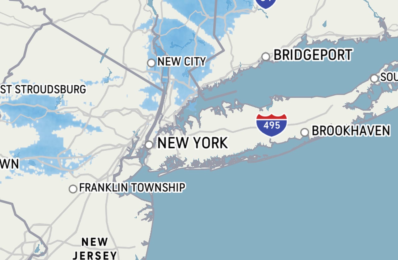
STATEN ISLAND, N.Y. — Snow is set to dampen our borough and the rest of New York City on Sunday. Just don’t expect it to stick … around.
The New York City Office of Emergency Management issued an alert about snow squalls — “mini-blizzards” — on Saturday around 8 p.m., that read, “a chance for a quick coating to half inch of snow, visibilities around a half-mile or less, and 40 to 45 mph wind gusts” occurring for a short duration sometime between noon and 3 p.m.
According to one AccuWeather forecaster, “We’ve got a small system moving through this afternoon that will bring snow showers to the area,” said AccuWeather Senior Meteorologist Tom Kines.
Kines said one or two of the snow showers could be on the heavier side, with temperatures above freezing the snow is not likely to build up significantly.
“It may look very snowy for a short time,” said Kines. “Most of the roads should stay just wet.”
Temperatures in the high 30s are expected to rise to 40 as storm clouds open over our borough.
Driving conditions should not be impacted by the snow since the temperature ground level is way above freezing, according to Kines, who said one to two inches of snow could fall.
THE WEEK AHEAD
Kines also warned of potential snow showers caused by two different storm systems next week.
“There’s another system that will affect the area probably Tuesday,” said Kines.
According to the senior meteorologist, the storm system on Tuesday does not appear to be a big one and seems to lack moisture from the Gulf Coast and the Atlantic.
“It could bring us a small amount of snow — maybe an inch or two,” said Kines. “Although it is certainly not definite, the storm could stay to the south and we won’t get anything.”
Thursday or Friday that could bring some snow as well, according to Kines.
“It’s kind of an interesting week coming up where we have two storms that bring the possibility of snow,” said Kines.
Read the full article here
Leave a Reply