

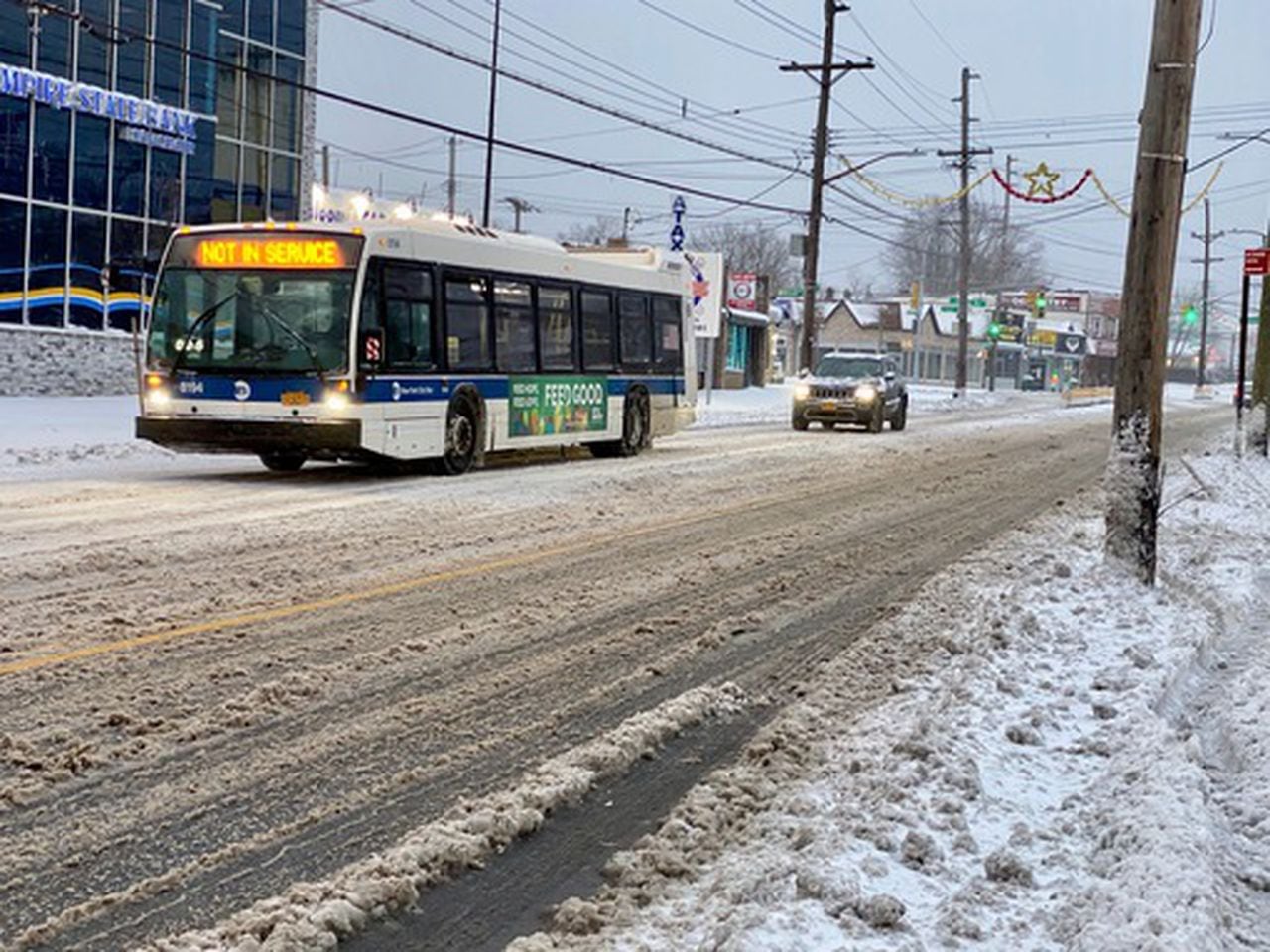
STATEN ISLAND, N.Y. — Get your snow shovels ready. A winter storm is expected to blanket New York City with the white stuff Monday night, messing with the Tuesday morning commute and leaving Staten Island glistening with a frosty covering for the first time this winter.
While New Yorkers enjoyed sunshine and temperatures in the mid-50s on Saturday afternoon, and a small dip on Sunday with snow squalls, freezing temps will arrive Monday and stick around long enough to support legitimate accumulation, according to AccuWeather and National Weather Service (NWS) forecasters.
Those in the five boroughs of New York City, as well as parts of northern Long Island, should brace for a two- to three-inch accumulation of snow, beginning Monday night through Tuesday afternoon, according to the National Weather Service (NWS).
And it could be the first of two snowstorms this week, as forecasters are tracking the potential for a more significant drop in temperatures later in the week and a potential for more snow Thursday night into Friday.
Snow will be steady on Monday night on Staten Island, then turn to a wintery mix Tuesday Morning, according to Brian Ciemnecki, a meteoroligst with the NWS.
“It’s going to snow pretty much for the entire overnight period,’’ he said. “There’s a potential by about mid- to late morning that some of that snow will mix with some rain.”
CAUTION FOR COMMUTE
Commuters, students and school bus drivers will have to use caution, navigating through snow during the Tuesday morning rush hours, he said.
“By the time people will be waking up, there should be around one to two inches on the ground,’’ Ciemnecki said. “Maybe you pick up another inch of snow during the early to mid-morning hours before that changeover to rain comes.”
Forecasts call for a high of 32 degrees and a low of 26 degrees on Monday, and Tuesday looks to bring temperatures in the mid-30s during the day and dropping to near 20 Tuesday night.
Wednesday’s temperatures…
Read the full article here


