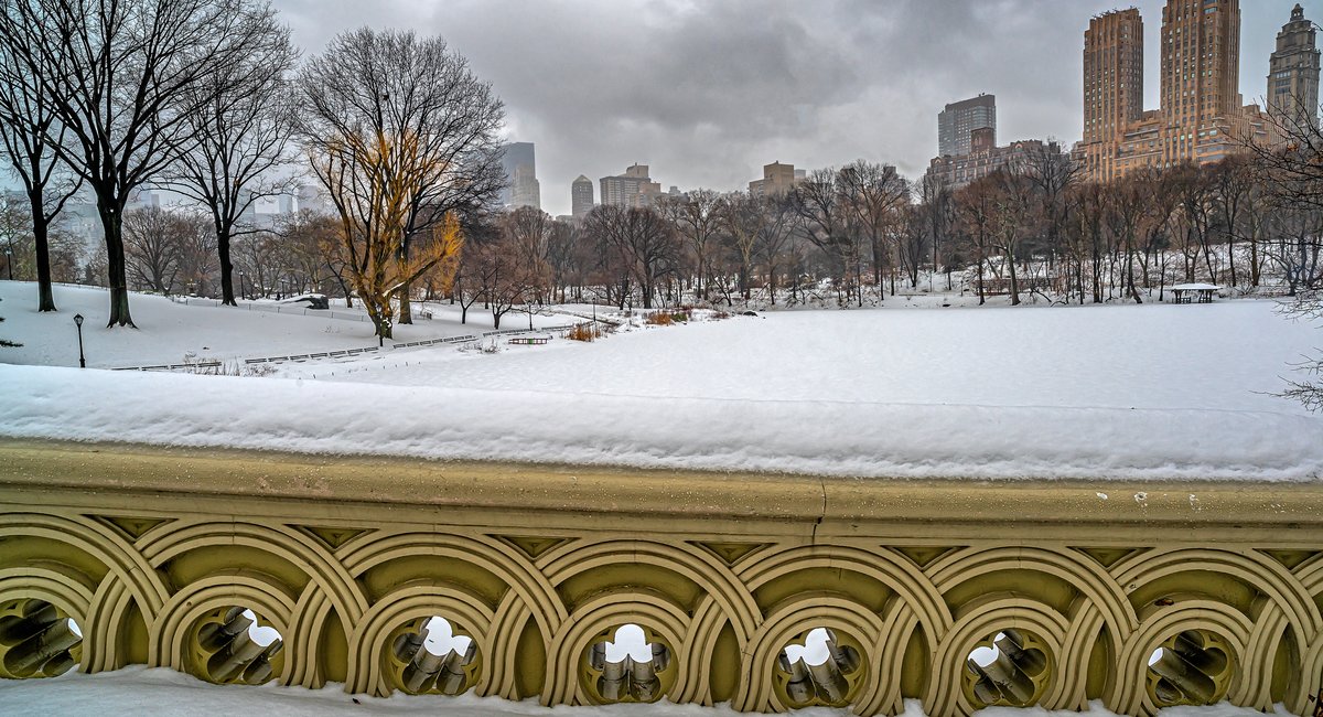
Winter definitely isn’t over yet.
The National Weather Service has issued a winter storm watch for New York City, Long Island and Northeast New Jersey, warning the region to brace for significant snowfall and gusty winds starting early Tuesday.
While it’s still hard to predict the exact amount of snow New Yorkers will see once the nor’easter moves out Tuesday evening, NWS is currently forecasting 5 to 8 inches — and potentially more — for the city.
“If the storm takes an even farther south track, we could see up to 10 inches,” said meteorologist Bryan Ramsey. “If it shifts farther to the north, we may only see 1 to 3 inches. But for now, we are expecting the more southern track to hold.”
The precipitation is expected to start Monday night, with rain turning into snow, he said.
By Tuesday morning’s commute, the snow will be falling quickly, at a rate of 1 to 2 inches per hour, according to NWS. New Yorkers are being advised to stay off the roads if possible.
Strong winds will add to the snowy conditions Tuesday morning, with gusts of 25 to 40 mph expected. Minor to moderate coastal flooding is also possible, especially around Long Island.
The city’s emergency management agency says it will declare a travel advisory for Monday night into Tuesday and has activated an official winter weather emergency plan.
“If you do not have to be on the roads tomorrow, please stay home, and, if you’re a property owner, remember to clear your sidewalks,” Mayor Eric Adams said in a statement. “As a reminder, New Yorkers should sign up for Notify NYC to keep up to date on winter weather.”
Public schools in the city will operate on a remote basis Tuesday due to the forecast, Adams announced. Alternate side parking has been suspended for that day, though parking meters will remain in effect. The MTA will run fewer Metro-North trains on Tuesday, but otherwise run full service, agency Chair Janno Lieber said.
A special election is scheduled Tuesday for New York’s third…
Read the full article here
Leave a Reply