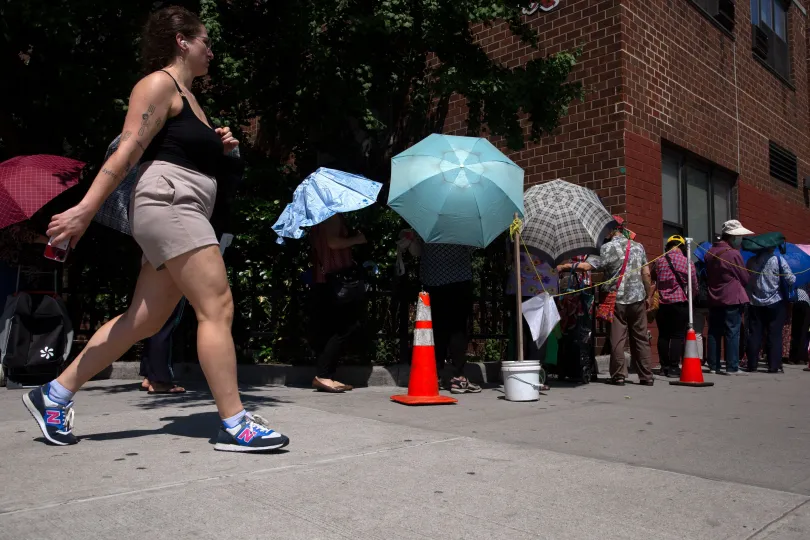
People used umbrellas to try to beat the heat on Grand Street in Chinatown, July 6, 2023. | Ben Fractenberg/THE CITY
This article was originally published on by THE CITY
The urban character of New York City means some areas are hotter than others — and now, new research shows just how much hotter and for how many people.
More than 6 million New Yorkers — nearly 78% of the city’s population — are exposed to temperatures elevated at least 8 degrees, according to a report released Wednesday by the nonprofit research organization Climate Central. The city as a whole feels about 9.5 degrees hotter for the average New Yorker.
That’s thanks to the human-made surroundings that define the cityscape: tall buildings that limit air circulation, abundant asphalt and pavement and the heat-generating things New Yorkers do fairly close to one another, like running appliances and driving.
Some swaths of the population experience even more intense temperatures as the built environment changes, block by block. Just over 41% of New York City’s population — about 3.8 million people — live in areas that feel at least 10 degrees hotter, and almost 48,000 people live in areas that feel at least 12 degrees hotter.
You can explore the map below to see how New York City’s heat island effect impacts your neighborhood.
“New York really stands out,” said Jen Brady, a senior data analyst with Climate Central, which examined the so-called urban heat island effect in 44 U.S. cities.
“A lot of the populations that are being hit with these higher temperatures are also the populations least able to make the adjustments necessary for these higher temperatures,” she added.
Who’s at Higher Risk?
The effects vary based on location in the city, with some of the most elevated temperatures in East New York and East Williamsburg in Brooklyn, Throggs Neck and Hunts Point in the Bronx and Midtown Manhattan.
But not every New Yorker is as vulnerable as…
Read the full article here
Leave a Reply