New York City is sinking at a rate of a half-foot per century.
A new study released last Wednesday by a NASA-led research team used high-resolution satellite images to analyze the ground elevation of the approximately 300 square miles of New York City. This research was ostensibly following up a separate study published in May that hypothesized the city’s drop in land elevation — known as subsidence — was due in part to heavy concrete buildings pushing down on the Earth.
That conclusion was not quite right, though it drew a lot of headlines
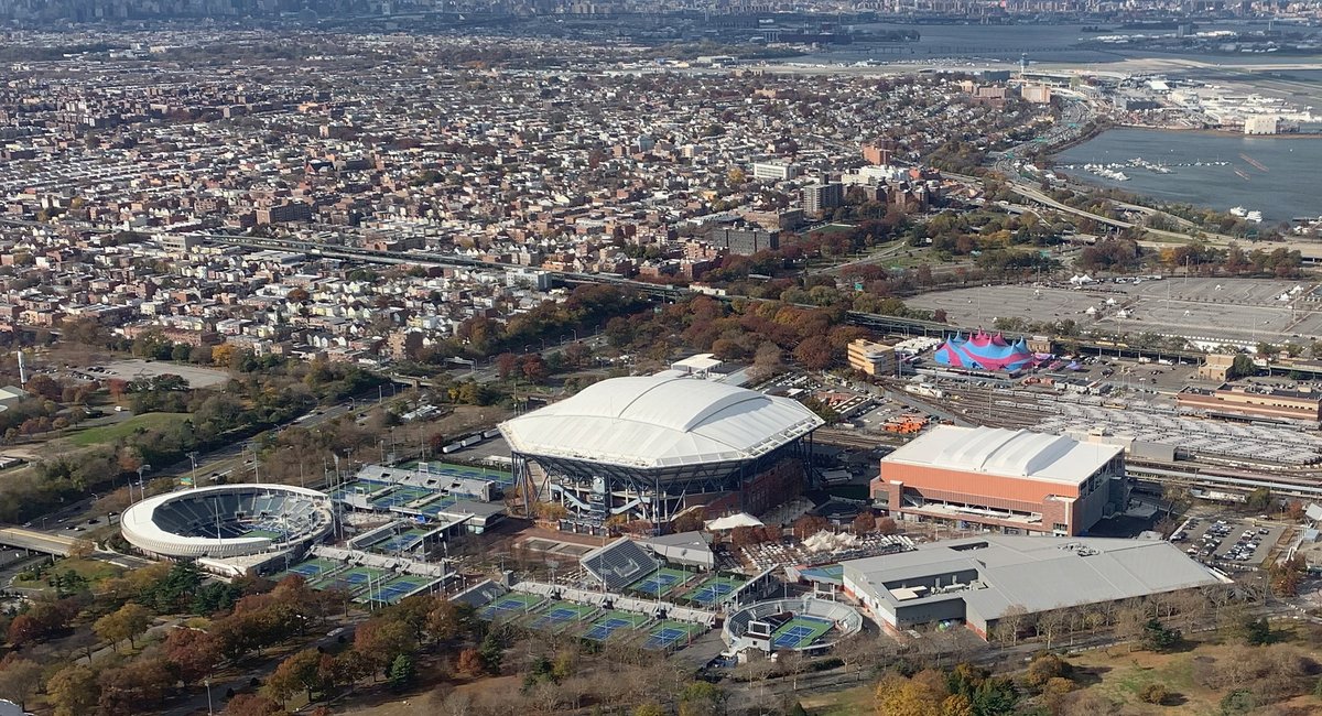
The NASA team found that the city’s 1.68 trillion pounds of steel and stone had a negligible effect on sinking — unless structures were built on landfills, a fairly common practice in NYC. Hot spots for subsidence were spread out across the five boroughs.
Coney Island in Brooklyn, Arverne by the Sea in Queens and the Rikers Island prison complex were also built on landfill. The south side of Governors Island is basically a patch of landfill built on nearly 5 million cubic yards of rocks and dirt from excavations for the subway in the early 1900s. Just outside of the metropolitan area, New Jersey’s highways, Route 440 and Interstate 78, are sinking in areas built on fill.
Non-landfill areas where researchers detected sinking were mainly due to the melting of glacial ice sheets that once covered the region about 20,000 years ago. During the last Ice Age, New York City was located just outside a mile-high ice sheet that covered most of New England. The weight of the ice pushed down on the ground underneath while forming bulges on the edges that elevated the land. Those areas are slowly sinking back down over time.
“Much like a mattress, if you push down, you get a sort of depression underneath the mattress and then a bulge on the edge,” Robert Kopp, the study’s co-author and the co-director of the Rutgers University Office of Climate Action. “Those [bulges] come up as you lift yourself [off the mattress].”
The…
Read the full article here
Leave a Reply