“That gap was just time where we could have been learning more, but we’re back,” Como said.
The city Department of Environmental Protection hired the USGS to collect scientific data on the depth of the water table as a first step to understanding the landscape and how factors like rain, sea-level rise and projects to manage stormwater affect the groundwater.
The efforts come as some residents and elected officials sound the alarm about ongoing groundwater flooding in their communities. Knowing where the groundwater is and how it changes is a first step to dealing with that flooding, city officials say.
Groundwater flooding may become a more widespread or severe problem due to climate change: Water tables rise with sea levels, which are estimated to be at least half a foot higher by the 2030s. Unchecked, rising groundwater can cause flooding, create sinkholes in roads, damage underground tunnels and utility equipment, spread toxins at contaminated sites and render stormwater management strategies ineffective.
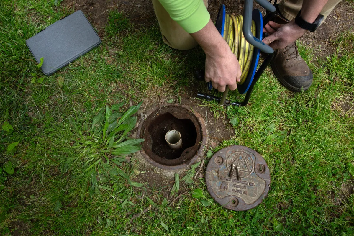
The USGS is starting to monitor a network of over 150 wells throughout the boroughs, some installed as early as the 1970s. The first step is to find the wells, which may have been paved or developed over.
“A well in the Great Plains will probably stay there forever. Here, you come back, and then there’s a McDonald’s or Starbucks,” in its place, Como said. He recently failed to locate two wells near Kennedy Airport and had to return with metal detectors (that time, he found the wells).
At some wells, team members will manually take measurements of the water level, and at others, devices will do “continuous monitoring.” The USGS will also measure lake levels and stream flows, which can indicate what’s happening with the groundwater.
“We’re hoping that getting this network back will be able to help the city evaluate what’s going on, and…
Read the full article here

Leave a Reply