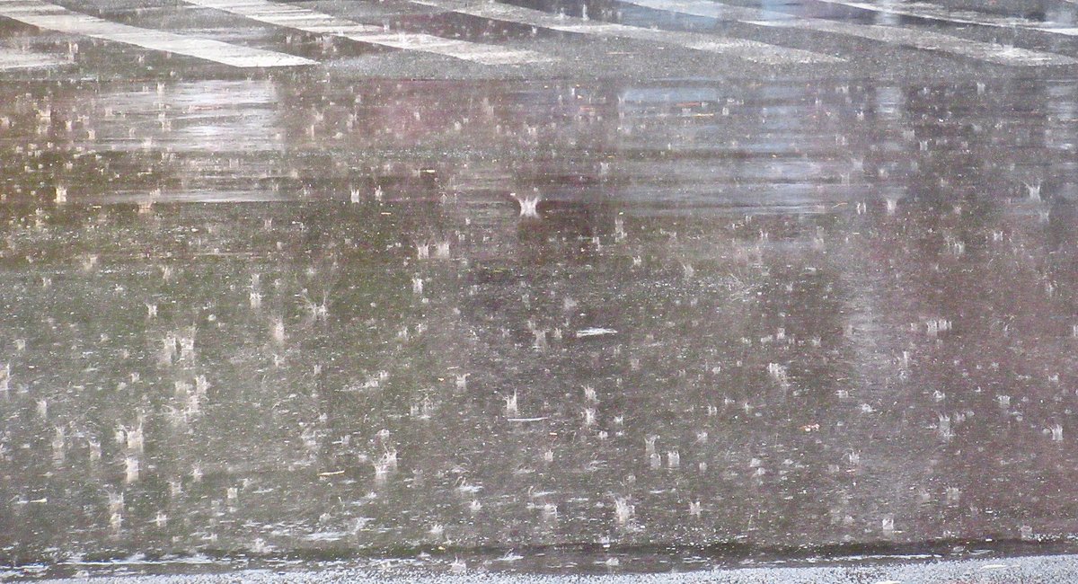
The worst seems to be over for New York City in terms of the intense rain that pummeled the tri-state area on Sunday night, causing extreme flooding and even one death in the lower Hudson Valley.
Meteorologists said that Monday will look clearer and drier, though there’s still a 40-50% chance of scattered storms passing through the area, and train service disruptions north of the city show the continued impact of last night’s severe weather.
“Places that have already seen lots of rain, hopefully they don’t get a repeat performance,” said National Weather Service meteorologist Jay Engle. “Right now we think the worst is over, as far as what we’ve seen.”
A flash flood warning was issued for New York City from 2 p.m. Sunday to 6 a.m. Monday, though areas farther north were hit hardest.
Engle said 6-10 inches of rain were measured in the “bullseye of the flooding,” which centered over northwestern Westchester County and northern Rockland County, the eastern half of Orange County and the western two-thirds of Putnam County.
Gov. Kathy Hochul declared a state of emergency in Orange County on Sunday night, after reports that one person died and several others were missing in the floodwaters. As of 9:30 p.m., 1,300 homes in the region were without power, Hochul said, and one house had been swept away entirely.
Effects of the severe weather in other parts of the tri-state included minor flooding of the Ramapo river in Mahwah, New Jersey, and a tornado warning on Long Island.
By the Monday morning commute, flood advisories for northern Westchester, northeast New Jersey and southeast New York had been canceled. But train service in the region was impacted.
Metro North service on the Hudson line was suspended between Croton-Harmon and Poughkeepsie because of ongoing flooding conditions. Service was also suspended on the Wassaic line in both directions. In a tweet early Monday morning, Metro North urged customers seeking service to Grand Central to travel to…
Read the full article here
Leave a Reply