Pandemic-weary New Yorkers may be feeling déjà vu with warnings to wear masks and stay indoors as smoke-filled air continues to cover New York. But unlike COVID-19, this bout of unprecedented weather should hopefully be short-lived.
Meteorologist Lauren Casey of Climate Central, a nonprofit news organization that monitors climate change and its impact on communities, said the bad air could continue through Thursday and maybe into Friday before a cold front drops in and sweeps the smoke away.
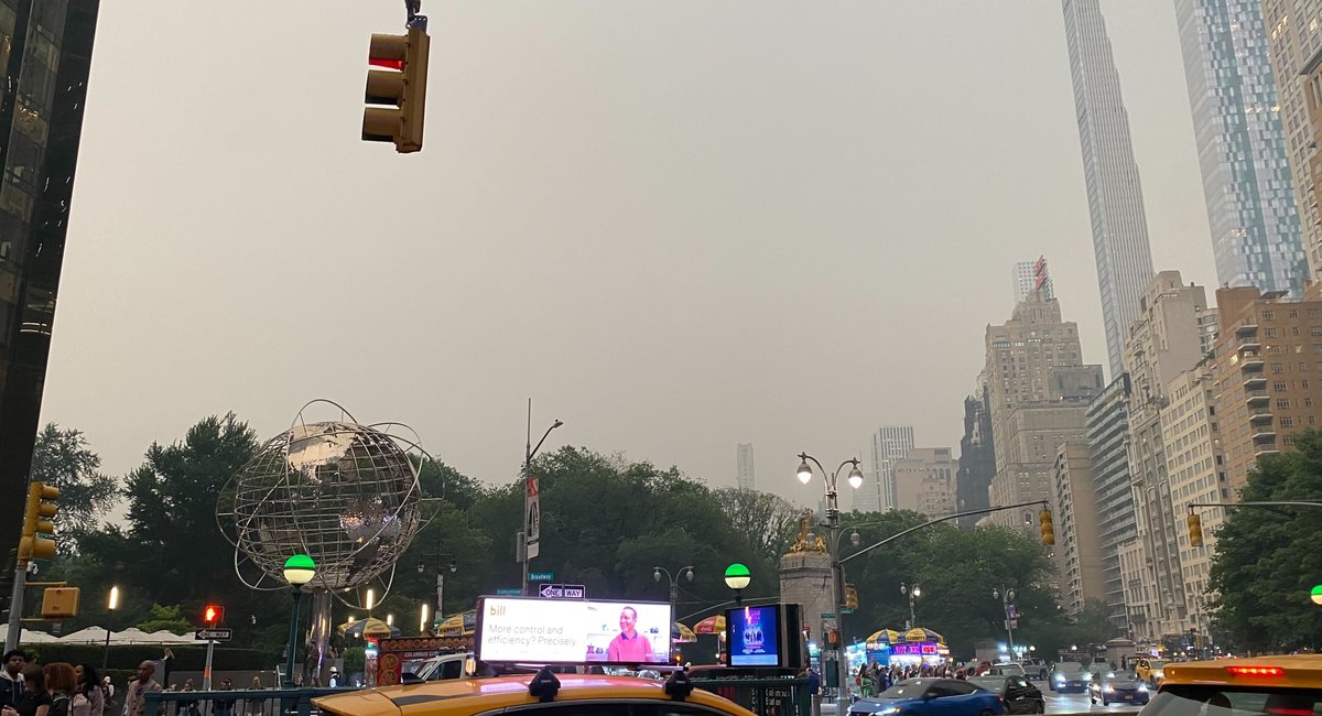
In the meantime, however, the smog has caught even seasoned weather experts off guard.
“We’ve never seen anything like that. Walking outside of my house last night in Philadelphia, you could just see the smoke at the surface,” Casey said. “It looked like a foggy night because it was so thick, you could smell it in the air.”
The weather pattern creating this phenomenon is extremely unusual. A stalled nor’easter that’s currently stopped over Maine is blocking the jet stream. The low pressure is pushing air from north to south, instead of the typical west to east.
“In this case, it’s an atmospheric traffic jam and nothing is moving along very quickly, and that’s why we’re in this persistent pattern,” explained meteorologist Garett Argianas in an interview with WNYC’s Brian Lehrer.
This kind of north-to-south movement is especially rare to see during the summer, and that’s the reason for cooler-than-normal temperatures this week, Casey explained.
Unfortunately, the bad air is slated to get worse before it gets better.
The Air Quality Index, which measures air pollution, could breach 200 this afternoon as more smoke is forecast to move into the New York area. Anything over 201 is considered to be “very unhealthy” by the U.S. Environmental Protection Agency’s standards.
“The air right now is unhealthy for everyone to go outside,” Casey said – not just the elderly or people with pre-existing conditions.
New York City public schools have canceled outdoor…
Read the full article here
Leave a Reply