New Yorkers and New Jersyans thought they had seen the last of Tropical Storm Ophelia, but the remainder of the weather event that soaked the tristate region last weekend had other plans.
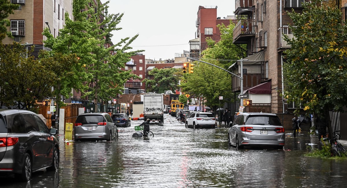
The remnants of Ophelia returned in force on Friday, triggering a state of emergency that shut down the New York City subway, roads and airport terminals. At a press briefing, city officials described the situation as the wettest day since Hurricane Ida.
During the first 24 hours of Ida, more than 7 inches of rain fell in Central Park. Friday had nearly 6 inches the same period, bringing Ophelia close to 2021’s catastrophic rainfall. Ophelia actually dumped more rain on some parts of the city, data from the National Weather Service shows.
JFK Airport, City Island in the Bronx and Park Slope in Brooklyn were all hit especially hard by Friday’s deluge. The National Weather Service posted on social media that JFK experienced the wettest September Day since Hurricane Donna hit in 1960. New Jersey didn’t see a total repeat of 2021’s downpour, but Hoboken and Bergen County both got more than their fair share of rainfall. The Garden State also declared a state of emergency.
Meteorologists said the city’s newest weather disaster had more in common with Ida than many may realize when it comes to how the deluge was born. Similar to Ida, the forecast had called for this rainfall a few days in advance, and the heaviest predictions locked into place by Thursday night.
Yet NYC schools and transit opened, ultimately stranding students, commuters and tourists once the bulk of the rain arrived. Mayor Eric Adams is once again drawing scorn for his emergency preparedness, and disaster experts said the environmental fallout could linger well after the rain weakens on Saturday.
Ophelia strikes back: Did the forecasts give enough warning?
Prevailing winds in the New York City area generally blow from west to east, pushing storms up the coast and out to the middle of the Atlantic Ocean. But…
Read the full article here
Leave a Reply