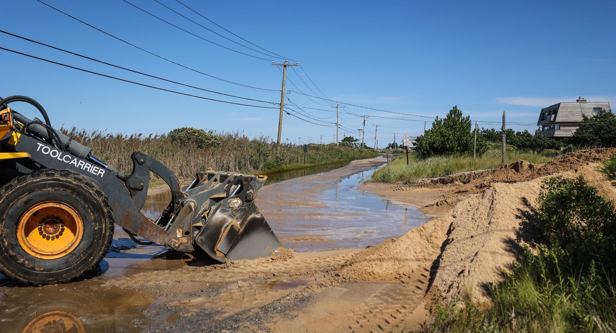
Hurricane Lee — which is not expected to directly hit the New York City metropolitan area — may still bring powerful winds to the region and minor coastal flooding to parts of Long Island as early as Friday evening, according to the National Weather Service.
John Cristantello, a lead meteorologist for the agency, said winds in the region could pick up to as high as 25 to 30 miles an hour, with the strongest gusts likely to emerge on Saturday.
The east end of Long Island is expected to see even gustier winds — as strong as 35 to 45 miles per hour, Cristantello said. He cautioned that people may still experience the impacts of the storm beyond the center of its predicted path.
“The impacts — in other words: strong winds, rainfall — that could occur outside of the storm center itself,” Cristantello said on Friday afternoon.
Forecasters predicted the possibility of some minor coastal flooding on Saturday for the south shore of Long Island and the areas surrounding the Long Island Sound. Beach erosion was also a possibility.
Cristantello urged people to “keep out of the water” through Sunday.
“The rip currents out there are dangerous at this point, and that should continue all the way through much of the weekend — at least through tomorrow, but even into Sunday, as well. There’ll be dangerous surf out there,” he said.
Read the full article here
Leave a Reply