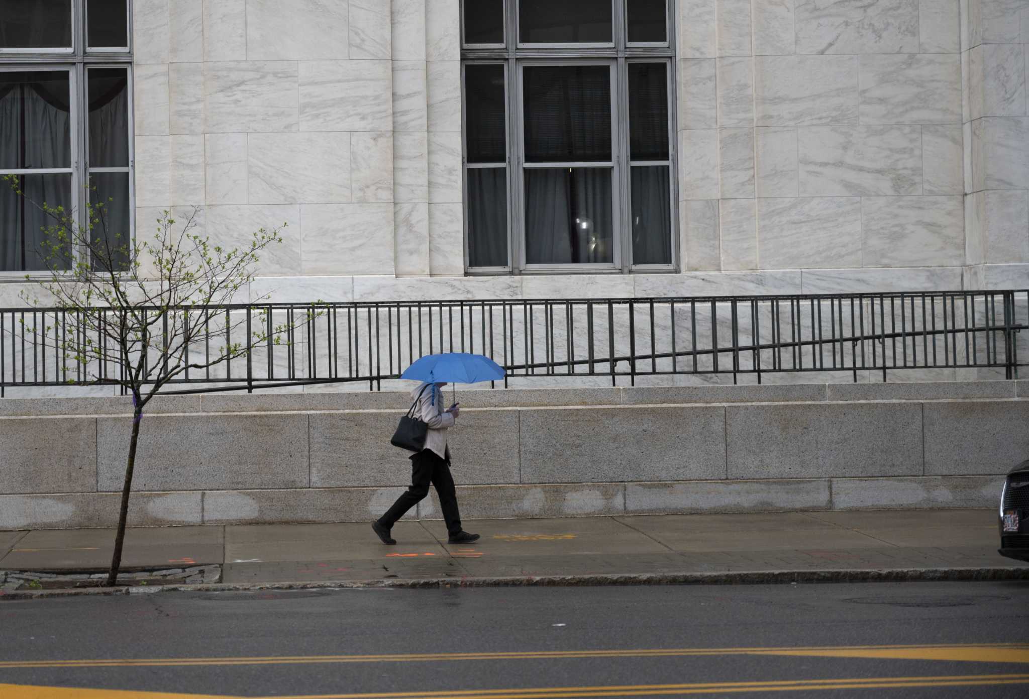
ALBANY — A large, slow-moving storm is set to bring heavy rain and wind, isolated thunder storms and flash floods to a large portion of eastern New York through at least Monday night, the National Weather Service said Sunday.
Rain is expected to come in waves from north of Lake George through the Capital Region and Hudson Valley. Communities could be begin seeing effects as early as late Sunday morning, said Kevin Lipton, a meteorologist with the weather service in Albany.
“It won’t be raining constantly through Monday but most of these waves will carry heavy rates of rain,” Lipton said. The storm could produce an inch of rain per hour in some places, he said.
The heaviest rain is expected to develop in the afternoon through the overnight hours as the storm gets hung up over eastern New York, Lipton said.
Flood watches are in effect for the entire eastern portion of New York as well as western Massachusetts, Connecticut and southern Vermont.
There is a high probability that this storm will lead to flash flooding particularly in creeks and even some rivers, Lipton said.
Lake George and the greater Capital Region are among the places that have the highest probability of seeing the heaviest rain, though that could still change depending on how the storm tracks. It could still shift west or east, Lipton said.
Lipton said that remnants of the storm could even last into Tuesday morning.
“This is making up for the dry weather we had in May and June,” Lipton…
Read the full article here

Leave a Reply