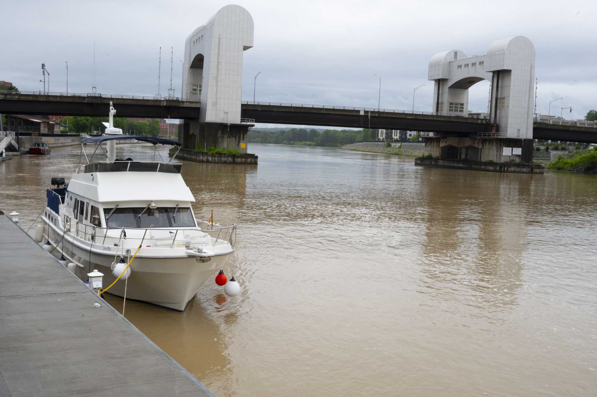
The National Weather Service of Albany “can’t rule out the possibility of a tornado.”
ALBANY — Just days after floodwaters surged through parts of New York, collapsing roads and prompting emergency rescues, another powerful storm system is expected to strike the Capital Region.
A flash flood warning has been issued for portions of New York and southern Vermont including Saratoga, Warren and Washington counties from Thursday afternoon through late Thursday night as severe thunderstorms move through the region. Dangerous flash flooding is possible, especially if storms impact an area already saturated by recent rainfall, with conditions expected to peak during the night.
“The threat is damaging wind gusts and large hail and we can’t rule out the possibility of a tornado,” said National Weather Service Meteorologist Ingrid Amberger. “It’s on the table, and we will be watching for the indicators.”
Parts of the region were already under a flood advisory on Wednesday night, including parts of Albany, Rensselaer and Columbia counties where standing water was expected to gather on roads and in urban areas. A weather station in Schodack reported more than 2 inches of rain had fallen by 7 p.m., according to weather maps from New York State Mesonet. Amberger told the Times Union at 6:30 p.m. that there had been no reports of flooding and that the storms were beginning to move through the area.
A special weather statement also had been issued earlier in the evening for Rensselaerville and Westerlo, where the forecast included pea-sized hail and 30 mph winds.
Tuesday’s downpour will set the trend for the next several days, marking the…
Read the full article here

Leave a Reply