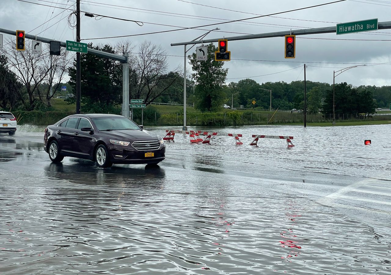
Syracuse, N.Y — The chances of flash flooding in Upstate New York today and Monday is growing as a line of intense thunderstorms rolls northeast.
“While most of the rainfall today will likely be beneficial,” the National Weather Service said, “there is the potential that a few storms may develop and produce very heavy rainfall.”
Nearly all of Upstate is now included in the weather service’s “slight risk” category for excessive rainfall. That means there’s between a 15% and 40% chance of rainfall intense enough to cause flash flooding in a 25 miles radius of any given point.
That risk area extends from eastern Illinois to Maine.
Any flooding in Upstate New York would be isolated, the weather service said, and most likely to happen in areas saturated Saturday and this morning by earlier rounds of thunderstorms. Parts of the Lower Hudson Valley saw more than 4 inches of rain in the past 24 hours. Farther Upstate, nearly 2 inches fell in parts of Chautauqua, Ontario and Rensselaer counties.
For much of Upstate, it would take about 1.5 inches of rain in one hour to cause flash flooding. Flash floods are rapid rises of water in creeks of streets, caused by intense rain falling in a few hours.
The risk of flooding continues Monday as another round of thunderstorms is expected to fire up in the warm, humid atmosphere. The weather service said it’s too early to know where the heaviest bands of rain will fall.
Read the full article here
Leave a Reply