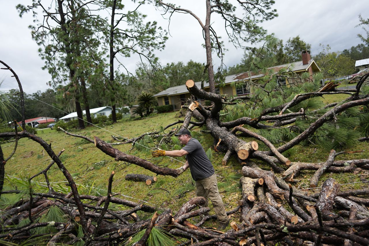
PERRY, Fla. — Hurricane Idalia tore into Florida at the speed of a fast-moving train Wednesday, splitting trees in half, ripping roofs off hotels and turning small cars into boats before sweeping into Georgia and South Carolina as a still-powerful storm that flooded roadways and sent residents running for higher ground.
“All hell broke loose,” said Belond Thomas of Perry, a mill town located just inland from the Big Bend region where Idalia came ashore.
Thomas fled with her family and some friends to a motel, thinking it would be safer than riding out the storm at home. But as Idalia’s eye passed over about 8:30 a.m., a loud whistling noise pierced the air and the high winds ripped the building’s roof off, sending debris down on her pregnant daughter, who was lying in bed. Fortunately, she was not injured.
“It was frightening,” Thomas said. “Things were just going so fast. … Everything was spinning.”
After coming ashore, Idalia made landfall near Keaton Beach at 7:45 a.m. as a high-end Category 3 hurricane with maximum sustained winds near 125 mph (205 kph). The system remained a hurricane as it crossed into Georgia with top winds of 90 mph (150 kph). It weakened to a tropical storm by late Wednesday afternoon, and its winds had dropped to 65 mph (100 kph) by Wednesday evening.
As the eye moved inland, high winds shredded signs, blew off roofs, sent sheet metal flying and snapped tall trees. One person was killed in Georgia. No hurricane-related deaths were officially confirmed in Florida, but the Florida Highway Patrol reported two people dying in separate weather-related crashes just hours before Idalia made landfall.
The storm was bringing strong winds to Savannah, Georgia, Wednesday evening as it made its way toward the Carolinas. It was forecast to pass over Charleston, South Carolina, early Thursday morning before turning east and heading out to the Atlantic Ocean.
Idalia spawned a…
Read the full article here
Leave a Reply