So as not to bury a possible lead, there is no measurable snow in this week’s forecast. Last week’s 6 inches at the airport brought Buffalo up to 70.8 inches, 20.2 inches below average to this date. Even so, that makes Buffalo the 3rd snowiest U.S. city, behind Anchorage, Alaska, and Boulder, Colo. As is nearly always the case, we are the snowiest large city with a population over 250,000. Smaller Syracuse and Rochester lag behind, next in order, by about 10 and 20 inches, respectively.
Our monthly mean temperature surplus has shrunk from a high of 18.9 degrees to 7.5 degrees above average, though it will grow a little of that anomaly back by Wednesday morning.
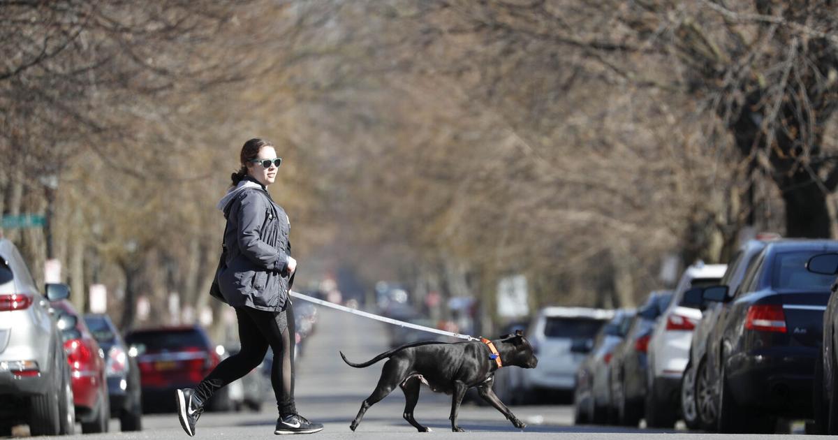
Dramatic warming arrived Monday, under a mostly to partly sunny sky and a developing downslope southeast breeze, with mid 50s on the Niagara Frontier commonplace. The downslope wind will strengthen overnight, and will likely produce southeast gusts of 45 to possibly 50 mph along the Chautauqua County shoreline and on the Chautauqua Ridge inland from the lake.
The brisk southeast wind will peak Tuesday morning, with some peak gusts of 40-plus mph possibly reaching the metro area for a few hours. Since a downslope wind is a warming and drying wind, early afternoon highs should reach from the upper 50s to the low 60s, and showers will hold off until later in the day.
Showers will be most numerous Tuesday evening, ahead of a cold front arriving early Wednesday. Behind the front, southwest winds will usher in significantly cooler air, as temperatures begin to fall slowly through the 40s. The best chance for a few stray light showers will be farther inland, to the east.
…
Read the full article here
Leave a Reply