Warm and humid conditions began to unfold Friday, following the previous three days of June that brought below average high temps in the 70s.
The monthly mean temperature will end up about average, and the large rainfall deficit for much of the month made up for some lost ground this week with some moderate to heavy showers and storms, dropping the deficit back to .86 inch. June rainfall through Thursday totaled 2.41 inches (not counting additional Friday rainfall). The two hottest days came on June 1 and June 2, with highs of 90 and 91, followed by below-average highs for quite a number of days into June 19-22, when highs returned to the 80s.
July will begin with typical midsummer conditions, although the weekend will be marred by spotty and occasional convective showers and thunderstorms, continuing from Friday’s unsettled conditions. You can follow the variable amounts of cloud cover on automatically updating GOES satellite imagery.
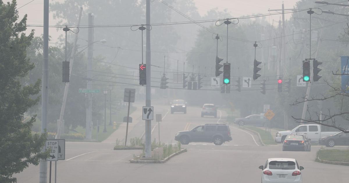
Away from the brighter meteorological clouds, the smoke plumes from Canada will still be visible, masking some of the sunshine but more importantly bringing periods of unhealthy air quality, back up to an AQI of 169 as of late Friday morning.
This is updated by the EPA and partner scientific agencies on an hourly basis. If you or loved ones have chronic lung or heart disease, this is an important link to bookmark. Modeled near surface smoke density still shows significant concentration early Friday evening.
Conditions improve Saturday, but we still don’t have a clean bill of health in model output.
There is more notable improvement by Sunday morning, with only minimal modeled smoke concentration.
As for weekend shower and thunderstorm probabilities, one basic rule of thumb that applies is the need for solar heating to add energy to convection. This is particularly true when only weak disturbances are present to trigger the activity. If a near-solid overcast is present, it becomes more difficult…
Read the full article here
Leave a Reply